I don't like how there are large concentrations of poor ice on the Atlantic side like last year.
The Atlantic side was hit a bit in late May
it's in the same place it seems year to year now. The ice may have been weakened by that late May warmth. Whatever it is. Once again it's showing up on Jaxa channel 89. And it's not only that scanning channel. The lowcentrationcontinues to show up in lower res channels. That are less effected by clouds but also less effected by ice thickness like bremen is using channel 89.
Channel 89 and 91GHZ. CT and NSIDC use 91GHZ from SSMIS for their daily output. NSDIC also uses the lower SSMI channels for their long term data set.
CT area is not only effected by melt ponds and real concentration being low. But it's also effected by the ice being very thin. Well once again using the most recent decently clear shot in the region.

This is the channel 89 GHZ Jaxa scan from yesterday. We have a relatively clear view over the Atlantic side without cloud obstruction.
You can see the area where the ice is thinner over the Atlantic side. This same thing showed up last year as well between late May and mid June. The pattern was different then tho.
Evidence of this appeared around the end of May into early June right after the HP period and foggy days. June 9th had the least amount of interference. Remember even tho the bremen image says June 10th. A lot of the data for Bremens June 10th is data from the 9th from an American point of view.
It's pretty obvious looking at the bremen image that also uses channel 89 GHZ that the low concentration coincides with the thinner ice spot on the graphic below.
I think the base state beneath the ice in that region has had to have changed potentially during the 2011 and 2012 season when very warm salty water was allowed to push so far into the basin above and below the surface.
2013 only let it come further North. Now we have had months of flushing in this direction and around the same time as 2013 is shows up again.

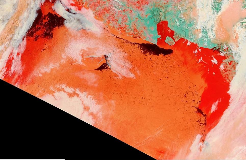
Today on the Pacific side. Skies are clear and max insolation got around today. We can see the red areas easy but there is dis coloring all over the RUssian side into thecentral basin. There is the area of higher snow on the ice along the Chukchi to the Northern CAB and central arctic.
By tomorrow a large part of the ESS region will see a substantial drop. The Chukchi side will follow too.

