Our policy is to destroy threads unless they're brilliant. Which is why this one is allowed.
Too kind sir!
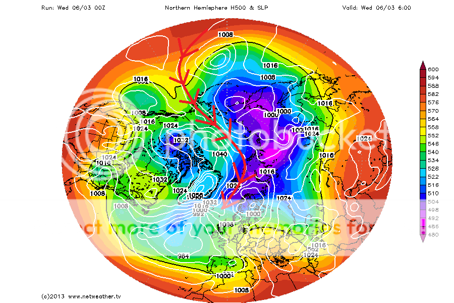
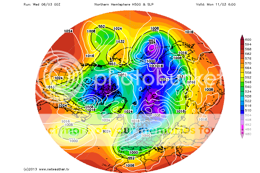
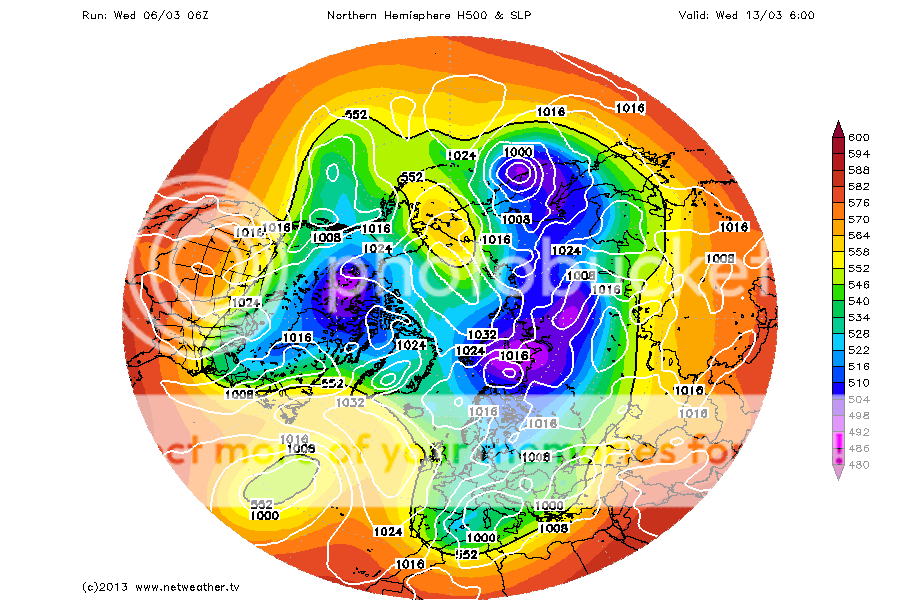
Anywho, the 00/06z models have changed little, other than to sure up a very strong cross polar flow, stretching from south of the Aleutian Islands, all the way into Europe at times, aided by a strong +ve dipole pattern.
06z GFS at t0

In between the +ve dipole, are periods of just -ve AO, with a fairly slack pattern

A very strong ridge then extends up from the Pacific side, introducing some very mild air to the Bering sea

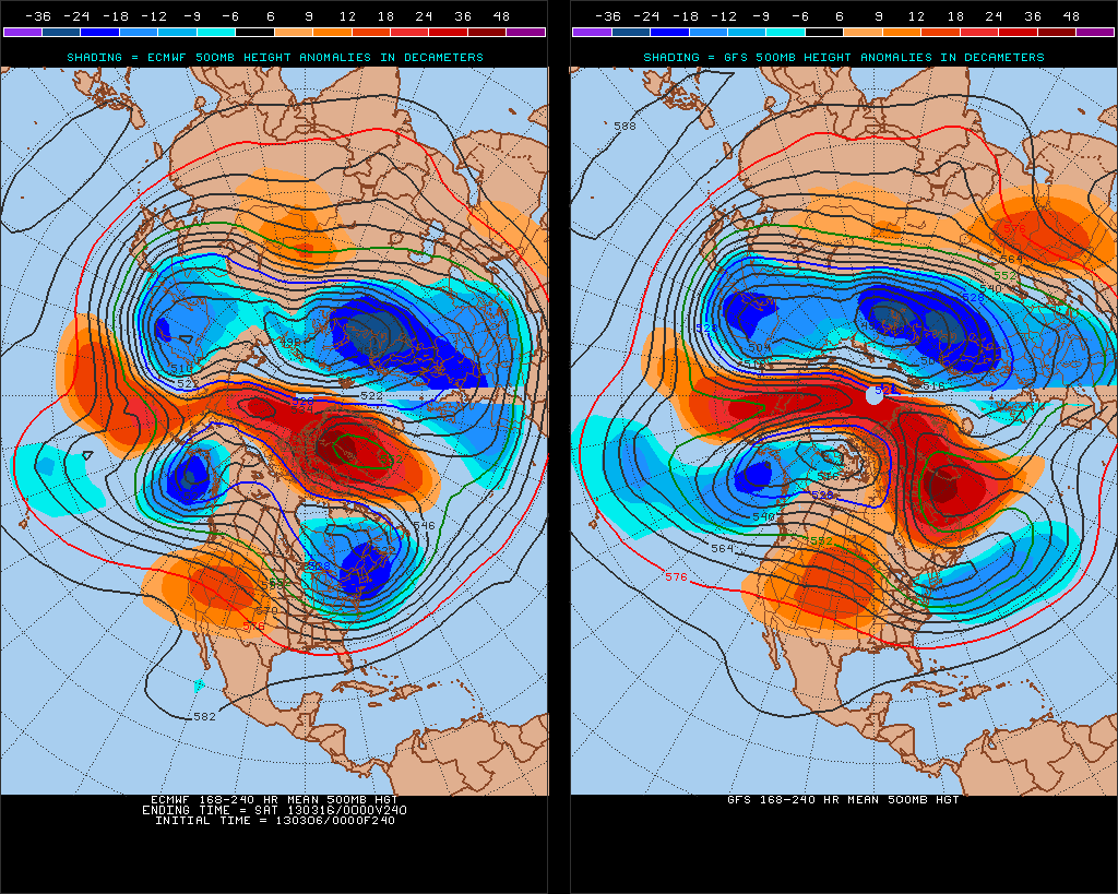
Further ahead, the 8-10 day 500hPa geopotential height charts suggests a continuation of the dipole pattern.

Overall, likely to see slow gains in the Atlantic sector, with northely winds through Fram and into Barents, and cold air over Barents also.
With the Bering sea, I'd expect some variability as storms pass through, but a general downward trend over the next week to 10 days as bouts of milder air and southerly winds take their toll.
The sea of Okhotsk looks very cold throughout the next week though with mainly westerly winds blowing the ice away from shore, so that's one area that could see some significant gains.
The current pattern splits the cold air, sending one lobe into Eurasia and another into North America. It's unlikely we'll see a return to the significantly below average temperature North of 80N again during this time.
